Barnard & Uptonville
Year Incorporated: 1919
Ward: 10
Population: ???
Fun fact: This area has an unusually high population of Puerto Ricans, Haitians and divorcees.[/su_box]
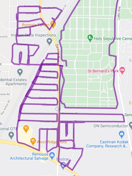
Beyond the pall of the Kodak Park smokestacks sits a quiet neighborhood (or two, or three) with a very suburban feel. Barnard, or Uptonville, or the Dewey & Bernice neighborhood feels in many ways like Greece, the town from which this area was annexed in 1919. It sits nestled between Greece, Holy Sepulchre Cemetery and the behemoth Kodak Park. I’m going to lay out how these areas differ, and how they overlap, and sprinkle in some confusion I still have about these named places, in the hopes that someone will come along and set the record straight.
Barnard was named after the family that owned the land where the Charlotte branch of the Buffalo, Rochester and Pittsburgh and New York Central railroads crossed Dewey Avenue. At the time Mrs. Barnard, widow to Thomas Barnard lived there with her son, Charles, who was the first railroad flagman at this crossing, and this junction quickly bore the name Barnard’s Crossing. It was also colloquially referred to as “Pretty Girl’s Crossing” but I couldn’t tell you who the pretty girl was. Perhaps a parrot came up with that name. The post office, eyeing efficiency, later shortened it to Barnard.

Uptonville is a bit harder to research. Most mentions of this hamlet pop up in the 1910s to early ’20s, right around when this chunk of city was annexed, so I don’t think it’s an old identity. Located (according to Google maps) around the intersection of Ridge Road and Bernice St, it’s early years were also centered around the railroad as the old Buffalo, Rochester & Pittsburgh tracks passed through. Interestingly, I don’t see the Upton name on much real estate in Uptonville, however that name is all over the place a bit north of here, near Lake Ave and Stonewood, leading me to wonder if this shouldn’t be the name of the area between Barnard and Charlotte. Enter the names Wilder and Henderson. John C. Henderson was the secretary of Upton Coal Company. Frank Upton worked with George Wilder, both as Directors of the Central Bank of Rochester. With access to funds and an interest in the railroad for their coal business they partnered to buy several tracts of land to develop.
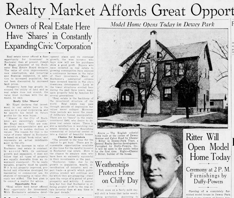
The area that Uptonville now appears on the map was opened with much fanfare as Dewey Park in 1928, however the writing was on the wall as of 1915 when Charlotte was annexed to the north, along with a thin strip of land encompassing Lake Ave (Boulevard) to the river. It was only a matter of time before this patchwork of farms and small businesses would be gobbled up, as the city needed new taxable real estate and the current residents needed city services. In fact, I found at least one example of the city strong-arming this corner of Greece by allowing a home to burn down, claiming that these residents didn’t pay city taxes, so why should they benefit from city fire hoses?
The longer I think about this strange spot on the map the more I wonder if it’s a trap town, otherwise known as a paper town or fictitious entry. These places were added to the map essentially to deter copyright infringement. If one mapmaker included a fake town on their map and that same location was found on a subsequent map, that map maker could be accused of copyright infringement. The problem with this is that, at times, maps manifest their places, rather than the other way around. In reality, Uptonville never had a post office, barely made it to any maps until the late 20th century, and seems to be absent from modern educational resources. On the other hand, Uptonville has appeared in ads as well as plenty of online real estate websites, and is featured on Google maps and on the OpenStreetMap project. Take this evidence and do with it what you will.
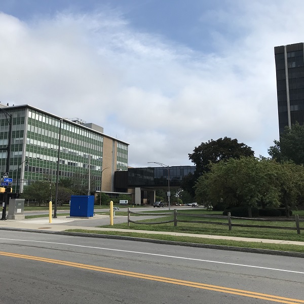
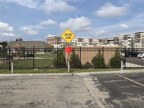
I have fond memories of driving to the Princess Restaurant every week, or seeing a show at the California Brew Haus, but that’s the extent of my experience in this area. I had little knowledge of a thriving residential neighborhood just past the main drag. In fact, my map hadn’t yet registered that a giant apartment complex had been built behind the Brew Haus and I found myself looking for a detour.
There are some places in the vicinity that I’ll save for another article. Holy Sepulchre Cemetery is a massive undertaking, as evidenced by my attempt to ride the perimeter, not realizing how huge it really is. Nearby King’s Landing/Hanford’s Landing needs to be it’s own thing just for the volumes of history associated with it. And maybe eventually I’ll write up a piece on Kodak Park. And if anyone knows more about Uptonville, or who the pretty girl was at Barnard’s Crossing, please reach out.
As far as parts of the city one never thinks of, this has gotta rank number one in my mind (so far)
That’s why I was drawn to it!